-
10
Jan
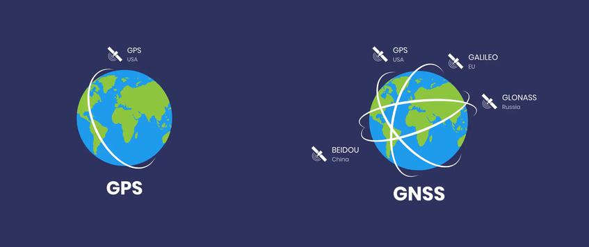
GNSS ( Global navigation satellite system) : qu'est-ce que c'est ?
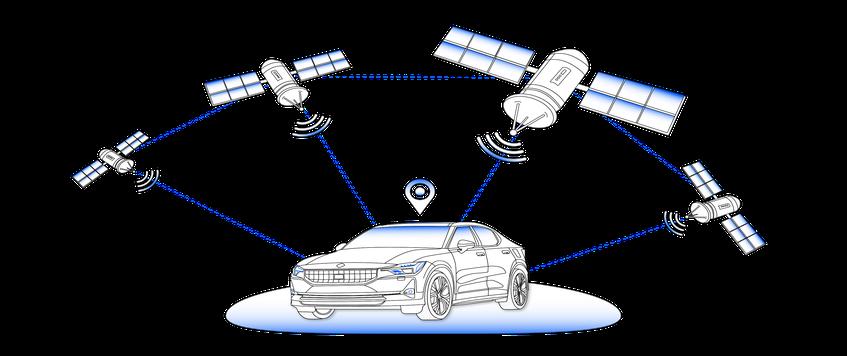
Géolocalisation et Navigation par un Système de Satellites : détermination de la position et de la vitesse d'un point à la surface ou au voisinage de la Terre, par traitement des signaux radioélectriques en provenance de plusieurs satellites ...
Lire la suite -
10
Jan
Qu'est qu'un «datum géodésique» ?
Un Datum (système géodésique) est « une modélisation de la Terre afin d'exprimer des coordonnées géographiques ». Il permet d’harmoniser les informations planimétriques par un système géocentrique (c’est-&a ...
Lire la suite -
10
Jan
GIS (Geographic Information System)
GIS
A geographic information system (GIS) is a computer system for capturing, storing, checking, and displaying data related to positions on Earth’s surface. GIS can show many different kinds of data on one map, such as streets, buildings, and vegetation. ...
Lire la suite -
8
Jan
What is GPS?
GPS is a system. It’s made up of three parts: satellites, ground stations, and receivers.
Satellites act like the stars in constellations—we know where they are supposed to be at any given time.< ...
Lire la suite -
8
Jan
What is Fleet Management Software?
Fleet management software is a computer program that allows users to perform specified duties. E.g., from vehicle acquisition to vehicle maintenance and then vehicle resale/trade-in, these specific activities cover the entire spectrum of vehicle operations.
Using fleet management ...
Lire la suite
Page 6 of 9.


