-

4
Fév
La fonction de Google Maps qui va changer la vie des conducteurs de voiture électrique
Le système de navigation de Google va aider les propriétaires de voitures électriques à mieux préparer leurs longs trajets.
Les longs trajets en voiture électrique pourraient bientôt devenir plus accessibles. Google ...
Lire la suite -

2
Fév
Encore plus précis, Galileo accentue son avance sur le GPS
Galileo est maintenant capable de géolocaliser un appareil sur Terre avec une précision de 20 centimètres. Une belle performance pour le système européen, mais il y a quand même une mauvaise nouvelle.
-
29
Jan
Système GPS : Un plus pour faire face aux vols et accidents
Depuis l’invention de l’automobile, il y a plus d’un siècle, la prévention des accidents est un aspect fondamental des améliorations mises en œuvre par les constructeurs automobiles. La plupart des accidents sont dus à la négligence des c ...
Lire la suite -
25
Jan
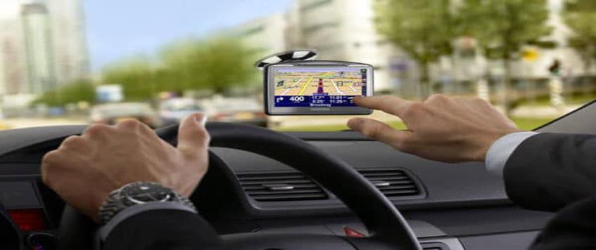
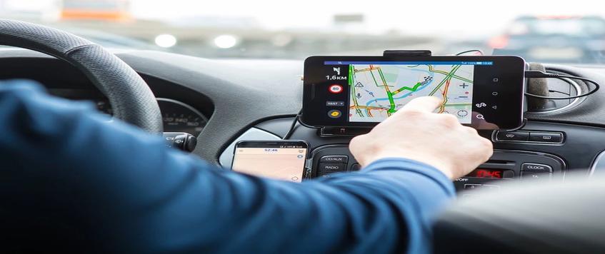
Comment Installer Un GPS De Voiture ?
Afin que le GPS de votre voiture puisse fonctionner correctement, il est parfois nécessaire de prendre quelques précautions lors de son installation. En plus de bien faire attention aux connexions filaires, il faut aussi veiller à ce que l’antenne soit ...
Lire la suite -
24
Jan
Quartix, fournisseur international de solutions télématiques, lance une option d’installation facile
Fournisseur de services télématiques et de solutions de géolocalisation de véhicules à l’international, Quartix annonce le lancement d’une nouvelle option d’installation : le boitier Connect & Track.
Cette nouvelle balise de ...
Lire la suite
Page 16 of 34.